Knowledge Hub
Find information and knowledge about ILASPP
Background of ILASPP
Indonesia is one of the ten largest greenhouse gas (GHG) emitting countries, primarily driven by land use change. Indonesia's economy heavily relies on the extraction of unsustainable renewable natural resources (agriculture, forestry, and fisheries) which contributed more than 12 percent of the Gross Domestic Product (GDP) in 2019. The abundant carbon-, land-, and energy-intensive natural resource supply, coupled with high demand, drives growth in the agriculture, urban expansion, industrialization, transportation, and trade sectors. Indonesia's economic development has resulted in rapid urbanization and land conversion for commercial purposes. In 2020, over 55 percent of the population urbanized, and most primary forests and peatlands have been converted for timber extraction and agricultural development. Meanwhile, urban sprawl is converting agricultural land into peri-urban settlements. Rapid population growth has expanded urban areas in Indonesia, with growth patterns that make it difficult for residents to connect to services and jobs. Limited spatial planning capacity, rapid development, and lack of capacity to monitor land use have resulted in environmental degradation, uncontrolled urban sprawl, and inefficient land use across the country.
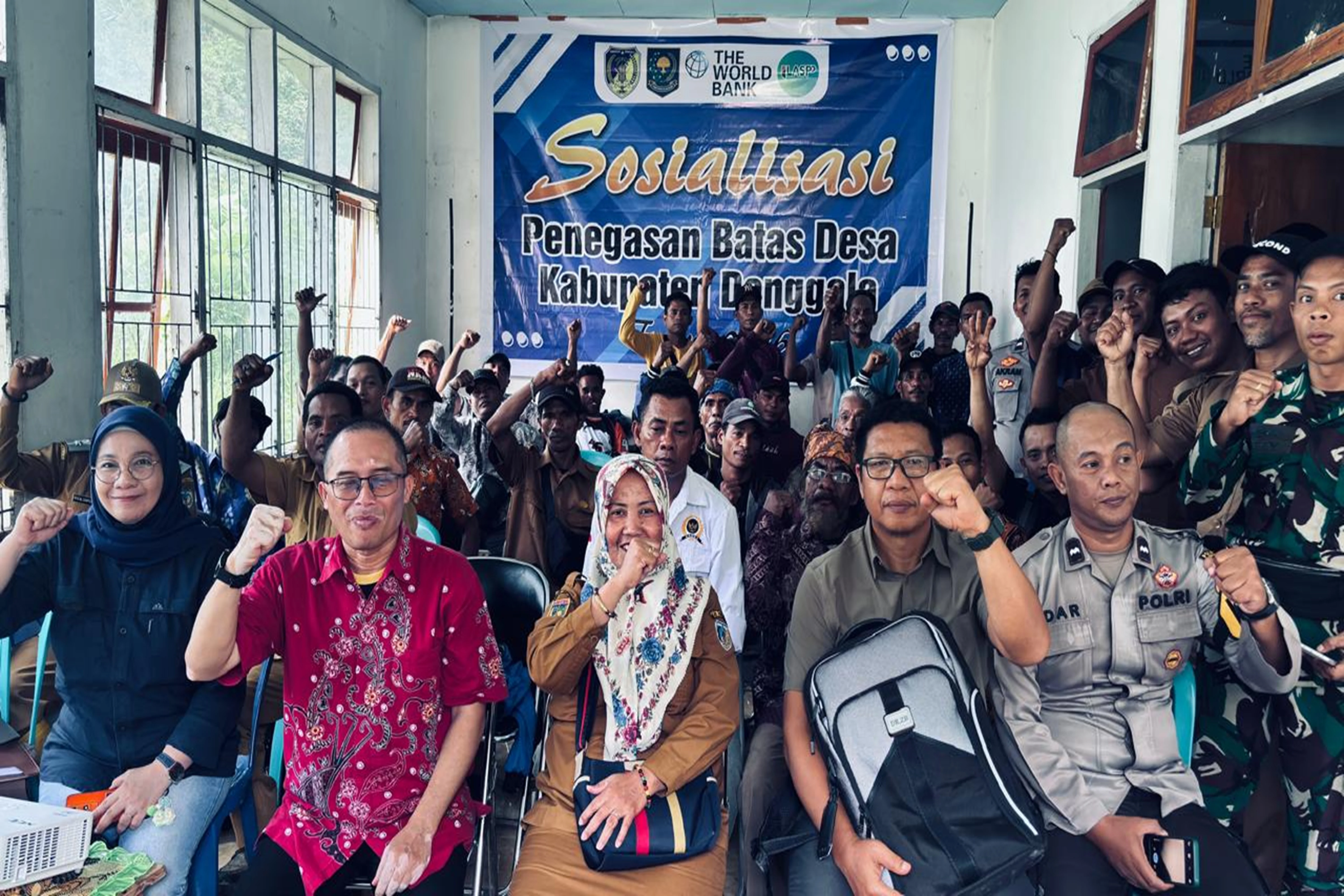
The Government of Indonesia has demonstrated a strong commitment to improving tenure security for social inclusion, economic growth, and land-based emissions reduction. Since 2015, Indonesia has implemented the Agrarian Reform Program, where over 9 million hectares (ha) of land have been registered for communities and smallholder farmers. The Ministry of Agrarian Affairs and Spatial Planning/National Land Agency (ATR/BPN) has the mandate to register all land rights in Indonesia in accordance with the Basic Agrarian Law (Law No. 5/1960). ATR/BPN also has the mandate for spatial planning, land information systems, and land valuation. In the last five years, ATR/BPN's flagship activity has been the National Complete Systematic Land Registration Program (PTSL). Through PTSL, land registration has experienced an unprecedented acceleration, where the number of registered land parcels has doubled to over 100 million in just a few years. The World Bank-funded project to accelerate Agrarian Reform (Program Percepatan Reforma Agraria/PPRA or One Map Project, P160661) implemented by ATR/BPN contributes to this transformative program, targeting surveying and mapping for eight million rural land parcels. However, around 20 million land parcels remain unregistered, a significant and urgent task for ATR/BPN targeted for completion by 2025. Additionally, ongoing efforts are needed to secure customary and communal land rights for Indigenous Peoples and community groups, strengthen climate-responsive spatial planning, and improve land and property valuation.
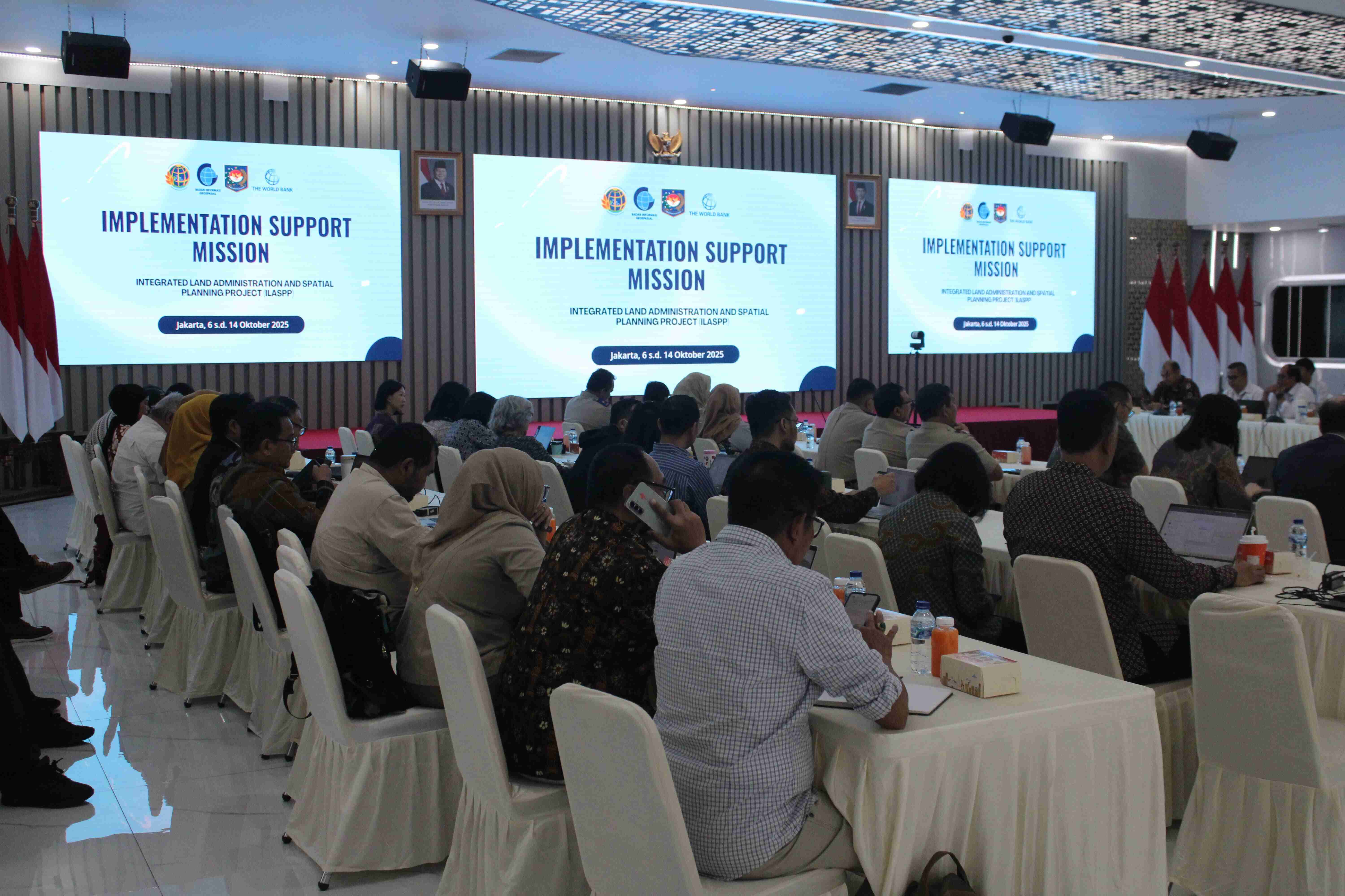
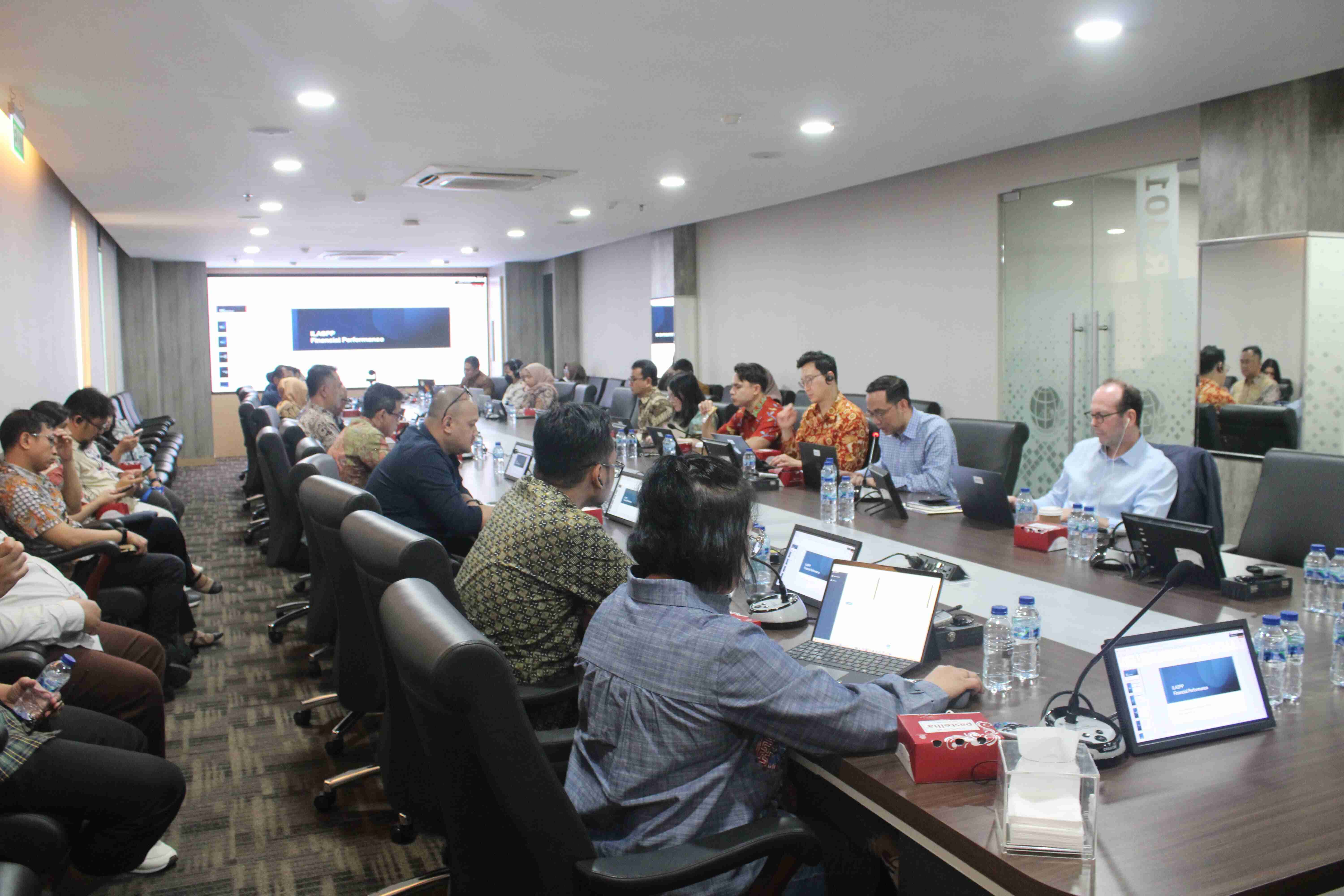
The Integrated Land Administration and Spatial Planning and Large-Scale Base Maps Provision Project (ILASP) will support the Government of Indonesia in addressing climate change by strengthening spatial planning and improving land tenure security, both critical to Indonesia's emissions reduction and climate adaptation implementation. First, the project will support the development of high-resolution geospatial data as the basis for climate-informed spatial planning, directing new agriculture and infrastructure away from sensitive ecosystems with high carbon stocks and guiding urban densification to reduce further encroachment and build climate-resilient cities. Through ILASP, climate-informed spatial planning will include risk assessments of climate-vulnerable areas, identifying and designating critical landscapes for conservation, engaging communities in the planning process, and using climate data and modeling tools to understand and predict potential climate change impacts on specific areas. The enhancement of national geospatial data infrastructure will enable the creation of multi-purpose and large-scale spatial data that accurately reflect climate risks and national economic priorities, ensuring stakeholders are equipped with methods to utilize geospatial information in supporting comprehensive and climate-focused planning and decision-making. Second, the project will clarify and register the tenure and administrative status of various land uses and secure land rights for the most vulnerable community groups, including indigenous peoples, which will promote social inclusion and improve sustainable landscape management. Third, the project will support the development of a land valuation system to enhance local revenue collection for services and urban governance, facilitate land acquisition for infrastructure investment, and improve property market efficiency and transparency. The paradigm shift towards climate-resilient spatial planning, mass valuation, and comprehensive land tenure security requires a digital transformation in land administration systems. Therefore, land use (spatial planning) and land administration (tenure and valuation) will be integrated through a comprehensive and unified Land Information System (LIS).